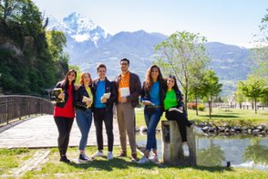
AlpSatellites project started in September 2022. The small-scale project aims at analyzing opportunities and challenges of telecommuting and co-working in order to attract and integrate young people, workers and digital nomads in rural and mountain areas.
Discover the six partners of the project!
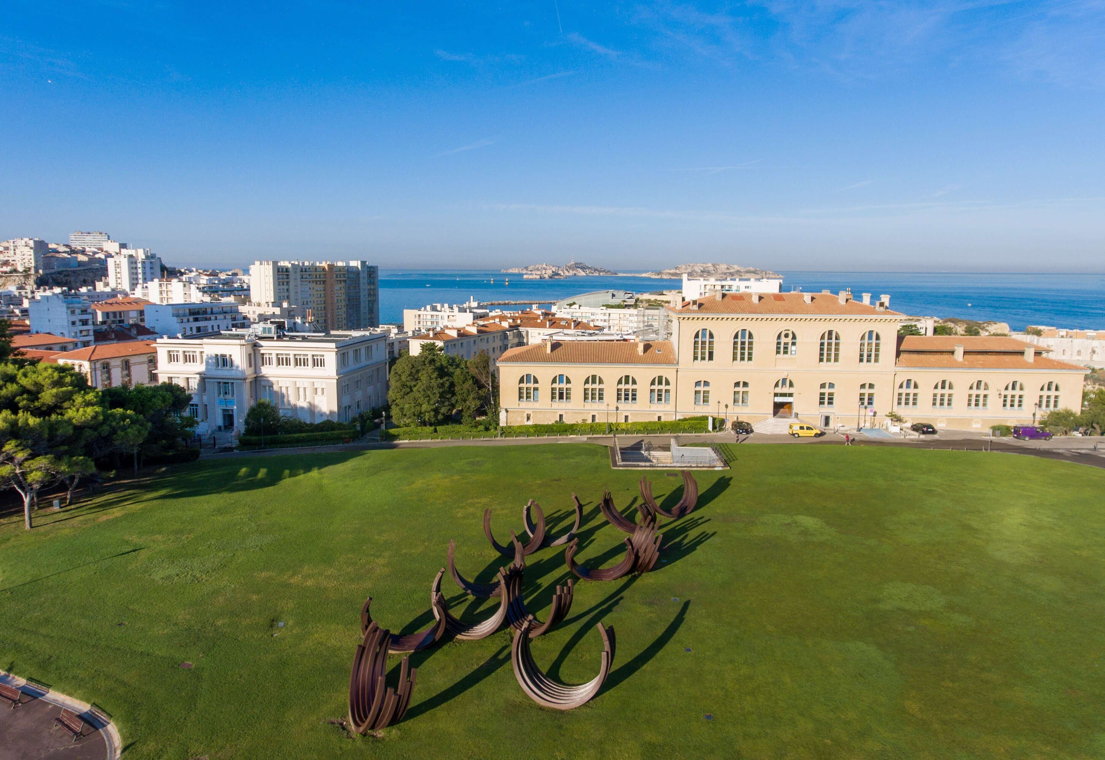
Aix-Marseille Université
Aix-Marseille Université (AMU) is a university in the South of France. It has 80.000 students and nearly 8.000 employees in the five campuses. The university foundation, A*Midex, contributes to the development of an interdisciplinary hub of higher education and world-renowned research. AMU is well known as a research-intensive university. It is home to 122 research facilities, 18 institutes and 50 technology platforms linked to major national organizations.
As a responsible and committed university, Aix-Marseille Université is recognized, at international rankings, for its social and social impact as well as for its role as a driving force for innovation and entrepreneurship within its territory.
Widely open to the world (10.000 international students and over 40 diplomas in international partnership), AMU has been awarded the European Commission's call for projects to build "CIVIS, a European Civic University" with 10 European partners, contributing to the major social challenges facing, in particular, Africa and the Mediterranean area.
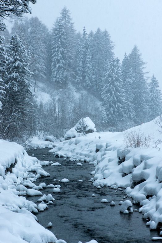
Association Culturelle Sociale et Sportive du Queyras
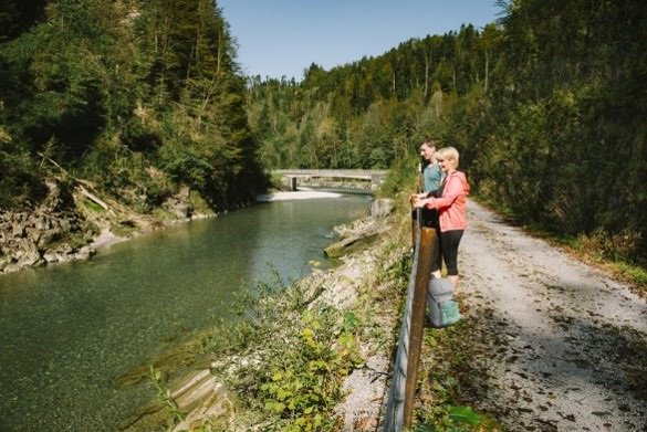
The ACSSQ (Association Culturelle Sociale et Sportive du Queyras) is an association governed by the law of 1901. It has 500 members overall of which 50 are active and it employs 19 people. The ACSSQ works in several sectors, from early childhood (day care center) to the elderly but also in the transversal fields of culture, sport, handicap and economic development led by the Queyr'Avenir Group. The ACSSQ has the status of a social centre. The ACSSQ works on the whole area of the Community of Municipalities of Guillestrois and Queyras. To implement Alpsatellites project, we work in partnership with Aix Marseille University on three communities of municipalities grouped within the Pôle d'Equilibre Territorial et Rural (PETR) :
- The Grand Briançonnais with 13 municipalities and 19.500 inhabitants, including the city of Briançon 12.000 inhabitants at 1350 meters of altitude and the ski areas of Serre Chevalier, Montgenèvre, La Grave and the Haute Romanche.
- The Pays des Ecrins with 8 municipalities and 7.000 inhabitants including the Commune of l'Argentière-la Bessée (2.400 inhabitants) and the ski areas of Puy St Vincent and Pelvoux-Vallouise.
- The Guillestrois/Queyras with 15 municipalities and 8.500 inhabitants, including the Commune of Guillestre (2.312 inhabitants at 1.000 meters of altitude), and Saint Veran a (2040meters of altitude. It is the highest municipality in Europe) as well as the ski areas of Queyras, Risoul and Vars.
Our economy is mainly based on tourism, handicraft, agriculture and breeding. We don’t have many factories based on our area; they are mainly concentrated on the banks of the Durance for hydroelectric production.
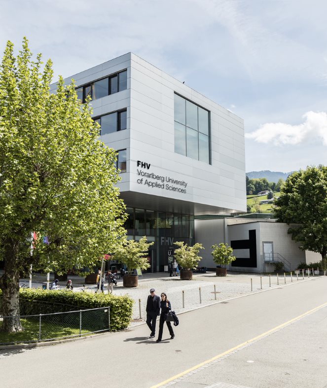
Vorarlberg University of Applied Sciences
The Vorarlberg University of Applied Sciences (FHV) is located in the Lake Constance Region in Vorarlberg (Austria). FHV has four core faculties (business, engineering and technology, design and social work & health) and more than twenty study programs. In partnership with business and industry the FHV follows the principle of serving the Region through internationally recognized research. That is why it focuses its research resources on five strategic areas: Energy, Microtechnology, User Centred Technologies, Business Informatics, Social & Economic Sciences. In particular, the Research Centre Business Informatics is focused on enabling technologies & methods in support of extended product and extended enterprise.
As a scientific key partner, FHV aims att informing the Region’s strategic policy and funding programs; it also supports companies and public institutions by providing ICT solutions and policy frameworks in digitalization. Furthermore FHV contributes to carry out methodologies, validate results, compare them transnationally and broaden the scientific network in Vorarlberg and more in general in Austria. Our mission is to keep on challenging the status quo and improving the living standards of citizens of the Region.
Unité des Communes valdôtaines Evançon
The Unité des Communes valdôtaines Evançon is a local authority gathering ten municipalities (Arnad, Ayas, Brusson, Challand-Saint-Anselme, Challand-Saint-Victor, Champdepraz, Emarèse, Issogne, Montjovet e Verrès) and giving common public services to all citizens. It takes its name from the Evançon stream that flows in all ten municipalities and crosses the whole Val d'Ayas.
The Unité Evançon has a varied natural environment: from the glaciers of Monte Rosa to the Mont Avic Natural Park and the plain of Arnad. Starting from Arnad and following the course of the Dora Baltea river, you can meet the territories of Issogne, Verrès, Champdepraz and Montjovet. From here, a short hike leads to the Villa Lake Nature Reserve in Challand-Saint-Victor.
For those arriving by motorway or train, the starting point for visiting the Unité is Verrès: despite its limited territorial extension, it is the most important centre in the area and hosts the Unité headquarters and the main services (schools, various offices, banks, sports facilities). Going up the Val d'Ayas (also known as the Evançon or Challand Valley), you comes across Challand-Saint-Victor, Challand-Saint-Anselme, Brusson and Ayas.
Doren
Doren is a municipality in the Vorderer Bregenzerwald. The Bregenzerwald region gathers 24 municipalities with around 33.000 inhabitants. The Municipality of Doren is located between Lake Constance and the Alps and it is one of the sunniest areas in Vorarlberg. Doren is located away from major traffic streams and that helps the conservation of its landscape. In addition, there are many buildings which emphasize the surroundings, especially in the council area where some “masterpieces" (fire station, primary school, middle school) have been built. The areas of "children and young people" are also strongly themed. Among all the activities for kids, the specially built adventure- and climbing- centres in the forest and the reading path stand out. Doren has several spaces for playing in the open air.
Furthermore, the community of Doren can find a grocery store in the village center, a camping site near the Bregenzerache River and both locals and tourists can taste local foodstuffs. One of the most famous trips is the "Achtal Weg”: along the Bregenzerach River there is a newly built walking and cycling path, where it is possible to see a wide range of flora and fauna. The Bregenzerwald Region has always been well known for tourism both during the winter season (skiing, sledding, cross-country skiing) and the summer (hiking). The area is also known for its handicrafts, he wooden architecture (Werkraum Bregenzerwald, Werkraum School) and the surrounding natural and cultural landscape
The University of Valle d'Aosta
The University of Valle d’Aosta (UNIVDA) is the AlpSatellites Lead Partner and a young, dynamic university well rooted in the Valle d’Aosta Region but with an eye on Europe.
It has four research facilities: the Department of Humanities and Social Science, the Department of Economics and Political Science, the Cross-Border Centre for Tourism and the Alpine Economy, the Research Institute in Education for the Environment and Nature. In 2021/22 about 1,000 students enrolled in bachelor’s and master’s degrees in Education, Psychology, Languages, International Relationships and Economics. Between 2000 and 2022 more than 3,000 students graduated from UNIVDA. Academic courses are provided by a research staff made up of 118 professors and lecturers. The University has a strong background in international cooperation, and in the last 3 years it has taken part in 4 European projects within the scope of Interreg Italy-France Alcotra.